Exploiting Digital Imagery for Snow Surface Retrieval on Sea Ice
Adam Steer2 :: Petra Heil1,2 :: Jan Lieser3 :: Rob Massom1,2
[1] Australian Antarctic Division :: [2] Antarctic Climate and Ecosystems Cooperative Research Centre :: [3] Gateway Antarctica, Institute of Marine and Antarctic Science
A brief history of sea ice aerial photography from Australian programs
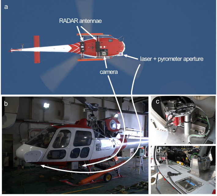
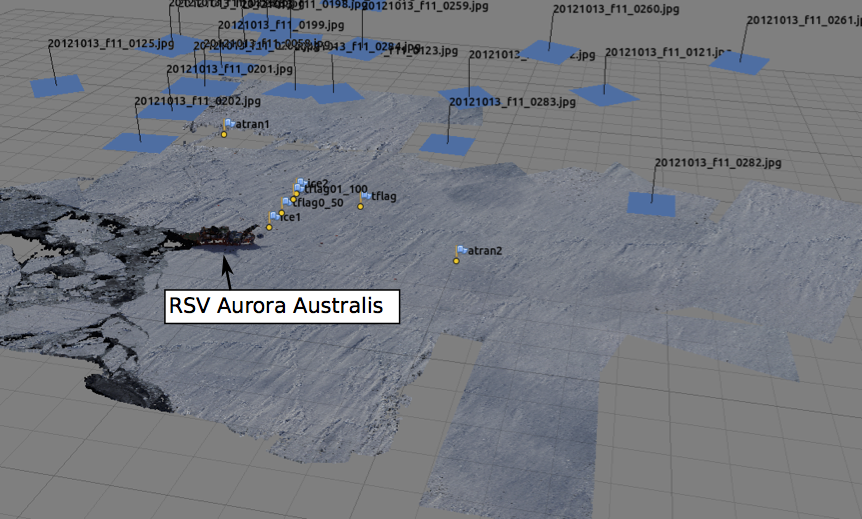
Here we focus on imagery collected in 2012 on the SIPEX II voyage, from a big drone.

Topography from imagery
- show a pretty picture here of a sea ice sampling site
then show a plot of photogrammetric elevation vs transect elevation, and distributed sampling site elevations
Snow depth from topography
- show a pretty picture here of a sea ice samplone site

Sructures in snow topography
What are ridges? what is not?
roughtness pic
snow types from imagery
Object based image analysis
What to do better
Deploy georeferenced targets - if you have instruments collecting position in the survey, paint an obvious target on top
Tilt the camera slightly to collect off-nadir imagery
Collaborate with computer vision experts!
Thanks!
This talk: https://adamsteer.github.io/talks/polar2018/#/1
An interactive 3D ice floe: (tba)
Bibliography
<<<<<<< HEAD
[to do - get DOIs and links]
Paget et al 2005
Steer et al 2008
Worby et al 2008
Hutchings et al 2012
Oszoy-Cicek et al 2013
Steer 2016 (PhD thesis)
=======
[to do - get DOIs and links]
Paget et al 2005
Steer et al 2008
Worby et al 2008
Hutchings et al 2012
Oszoy-Cicek et al 2013
Steer 2016 (PhD thesis)
Sturm et al (snow)
the ICEBRIDGE snow topography classification paper
>>>>>>> fbcf64fe1f54db0b87fad0691205488b5322e2cd